Remegio "Rem" Confesor
Forsker
(+47) 413 08 567
remegio.confesor@nibio.no
Sted
Ås - Bygg O43
Besøksadresse
Oluf Thesens vei 43, 1433 Ås (Varelevering: Elizabeth Stephansens vei 21)
Forfattere
Asmita Murumkar Mahesh Tapas Jay Martin Margaret Kalcic Vinayak Shedekar Dustin Goering Andrea Thorstensen Chelsie Boles Todd Redder Remegio ConfesorSammendrag
Det er ikke registrert sammendrag
Sammendrag
Det er ikke registrert sammendrag
Sammendrag
Det er ikke registrert sammendrag
Divisjon for miljø og naturressurser
SOILPROM: Modelling pollutant transport across the soil-water-atmosphere continuum, and impacts on ecosystem services
Developing sustainable solutions for soil pollution. Empowering Global Change by Advancing Soil Health with Cutting-Edge Research and Collaborative Efforts.

Divisjon for miljø og naturressurser
ENGAGE: Europe Nutrient Management - Guided Approaches for Greater Export reduction
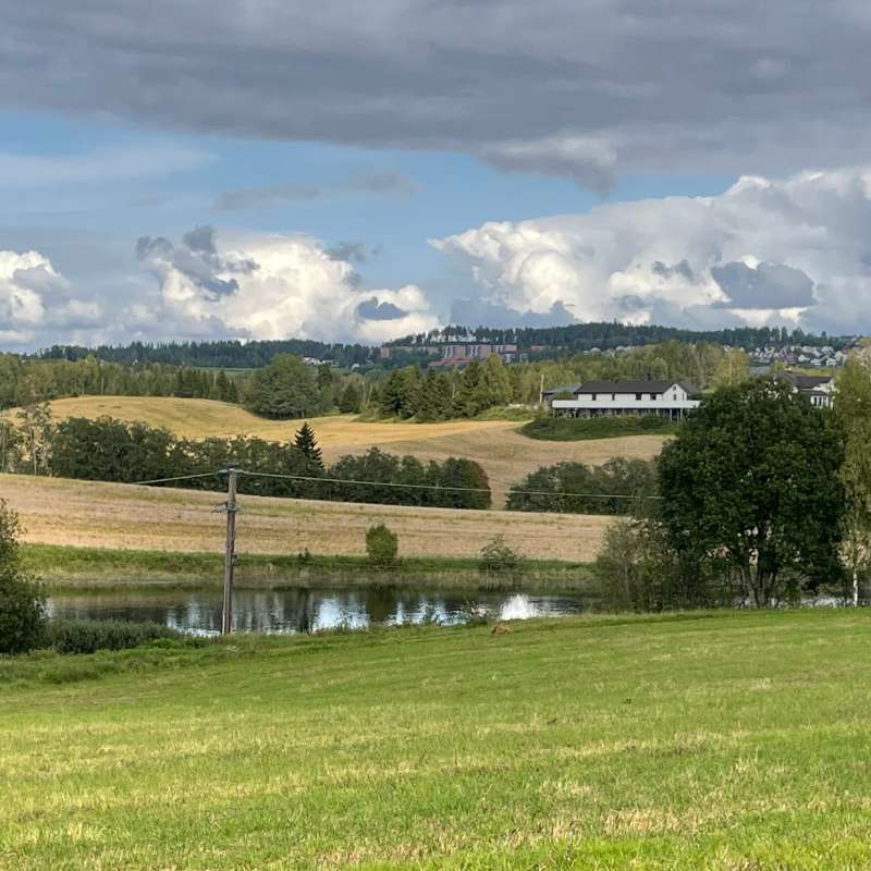
ENGAGE aims to operationalise a novel vision for the future of multi-scale nutrientexport reduction and associated ecosystem services in national andtransboundary/international river basins in Europe by bringing together robuststakeholder engagement strategies with coupled state-of-the-art computationalhydrology techniques and online interactive use-tailored DS tool approaches that integrate remote sensing, socio-economic, governance, and society-change decisionelements.
Divisjon for matproduksjon og samfunn
FoodsecURe: Food security through better sanitation: the case of urine recycling
Human urine contains essential plant nutrients. Hence, urine can serve as a “free” and locally available fertiliser. Successful, low-cost urine-diverting toilets (UDTs) that separately collect urine have been developed in Scandinavia and Europe and manufactured at large scale in Africa. A solution for stabilising urine into a solid fertiliser has also been developed. But why can't we recycle urine at scale? In Sweden UDTs are used in some cottages, and the Swedish University of Agricultural Science (SLU) has developed a method to stabilise and dry urine into a fertiliser product, urine-based fertiliser (UBF). FoodSecure aims to implement this technology at a medium scale in Ethiopia.
Divisjon for matproduksjon og samfunn
ECONUTRI
Innovative concepts and technologies for ECOlogically sustainable NUTRIent management in agriculture aiming to prevent, mitigate and eliminate pollution in soils, water and air
Divisjon for miljø og naturressurser
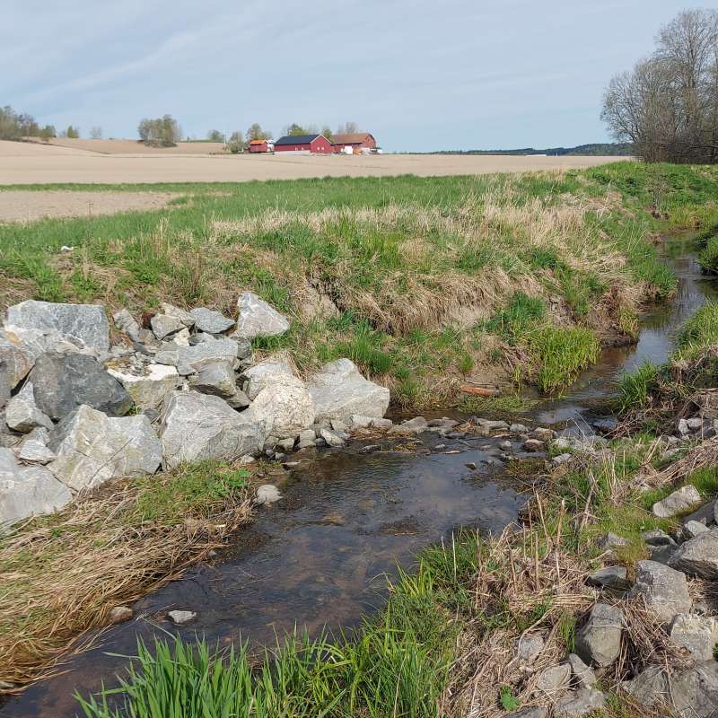
PATH4MED: Demonstrating innovative pathways addressing water and soil pollution in the Mediterranean Agro-Hydro-System.
Path4Med is a multi-participatory and multidisciplinary project that will pave clear pathways towards zero water and soil pollution in the agro-hydro-system of the Mediterranean sea basin and other European seas through an innovative triple bottom line approach achieving economic, social, and environmental sustainability to ensure human well-being and ecosystems functioning.