Svein Olav Krøgli
Forsker
(+47) 469 20 837
svein.olav.krogli@nibio.no
Sted
Ås - Bygg O43
Besøksadresse
Oluf Thesens vei 43, 1433 Ås (Varelevering: Elizabeth Stephansens vei 21)
Biografi
Sammendrag
Det er ikke registrert sammendrag
Forfattere
Wenche Dramstad Trond Simensen Svein Olav Krøgli Marius Berge Eide Linda Oksnes Øyvind Nystad HandbergSammendrag
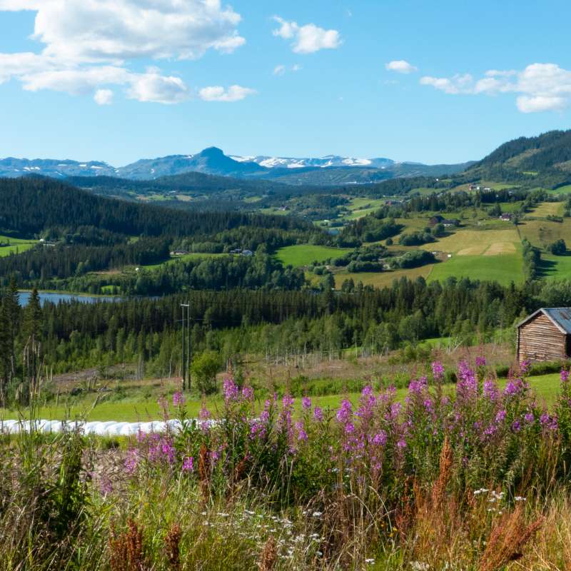
For å redusere nedbygging av natur- og jordbruksareal, er det ønskelig at framtidige utbygginger i størst mulig grad skjer i allerede utbygde eller sterkt endrede områder, også omtalt som grå arealer. Grå arealer er i henhold til KDD (2025) sin definisjon «arealer som allerede er tatt i bruk, eller sterkt påvirket av menneskelig bygge- og anleggsaktivitet, herunder alle typer bebyggelse, konstruksjoner og permanent opparbeidet overflate samt tilhørende arealer». Miljødirektoratet inngikk høsten 2025 et samarbeid med Statens kartverk, SSB og NIBIO om etablering av et kart over grå areal, slik dette er definert av KDD. Den første versjonen av kartet ble lansert i desember 2025, og har vært utgangspunktet for arbeidet med denne rapporten. Da kartet fortsatt er nytt, presenterer vi kartet og dets innhold, litt statistikk som kan hentes ut av det, samt hvor kartet er tilgjengelig. Målet er å bygge kunnskap for bedre utnyttelse av grå arealer. Transformasjon av grå arealer har allerede lenge vært et virkemiddel for å møte arealknapphet, begrense byspredning og støtte en mer bærekraftig arealutvikling i mange andre land, og vi presenterer kort noen eksempler til inspirasjon, i Norge og internasjonalt. Vi har også gjort en vurdering av hvordan multifunksjonalitet, eller sambruk, kan sees i sammenheng med transformasjon. For å operasjonalisere grå arealer for dette formål i arealplanleggingen er det behov for en tydeligere og mer anvendbar tilnærming. Vi foreslår en enkel kategorisering av grå arealer basert på 1) arealdekke, 2) arealbruk og 3) intensitet i arealbruken. Alt grått areal egnet for transformasjon eller sambruk. Grått areal har ulike egenskaper som bestemmer hvor egnet det er for transformasjon/sambruk og nytten for natur og samfunn ved transformasjonen/økt sambruk. Vi drøfter et utvalg av kriterier som kan være til nytte i en vurdering av grå arealer. Avhengig av hvilke typer bruk som er aktuelle, vil det kunne være behov for å berike kartet over grå areal med data fra andre kilder. Vi har sett nærmere på koblinger til slike datakilder, blant annet kartet over grønnstruktur, bruk av artsinformasjon fra Artskart og modellering av konnektivitet. Denne tilleggsinformasjonen om grå areal og deres nærområder kan være til nytte i ulike aktørers vurderinger av hvordan arealene kan utnyttes bedre. Et aspekt for egnethet for transformasjon av grå næringsarealer er der tidligere virksomhet er redusert eller opphørt, eller hvor utnyttelsesgraden er lav. Utnyttelsesgrad kan tolkes ut av kartet over grå areal, da dette viser andelen bebyggelse på arealet. Aktivitet er ikke tilgjengelig informasjon per nå. For næringsareal har vi utforsket å bruke regnskapsinformasjon som indikasjon på økonomisk aktivitet. Uttestingen avdekker flere relevante næringsarealer som synes å ha lite eller ingen økonomisk aktivitet. Samtidig er det for en stor andel av de grå næringsarealene ikke rett fram å identifisere bedrifter på lokaliteten. Det er derfor behov for videreutvikling av metoden dersom den skal brukes for å identifisere relevante næringsarealer for transformasjon. Vi vurderer at kartet som viser grått areal er et nyttig skritt i retning av å legge til rette for å redusere nedbyggingspresset på natur. Det å ha god kunnskap om muligheter og begrensninger når det gjelder gjenbruk av allerede eksisterende grå areal, de «grå arealressursene», kan bli svært nyttig. Dette er første versjon av kartet, og vi vet at denne informasjonen er ferskvare. For dem som etter hvert begynner å basere seg på å bruke dette kartet, tenker vi at det vil være viktig å vite at det er gjenstand for en oppdateringsrutine. Vi ser også for oss at det i det videre arbeidet med utvikling og bruk av kartet i praktisk arealplanlegging kan være nyttig å tenke om hvordan kartet best mulig kan berikes, for å forenkle prosessen for planleggere, inkludert ny geometri for å legge til rette for å identifisere transformasjon- og sambrukpotensial. Avslutningsvis mener vi det finnes et erfaringsgrunnlag knyttet til transformasjon av grått areal som bør samles og deles. Dette ser vi for oss også kan være til stor nytte for andre som vurderer virkemidler og veien videre. Det kan bidra til læring om hvordan myndighetene best mulig kan legge til rette for en forbedret utnyttelse av allerede grå arealer.
Sammendrag
Det er ikke registrert sammendrag
Divisjon for kart og statistikk
Integrering av klima, miljø og folkehelse i det norske matsystemet for å vurdere effektive, trygge og akseptable politiske alternativer
Norges matsystem utfordres ikke bare av interne målkonflikter, men også av økende ambisjoner knyttet til landbruk og mat fra andre politikkområder. Utslipp av klimagasser fra landbruket må reduseres, tap av natur og biologisk mangfold må stanses, og nye kostholdsanbefalinger forventes å flytte kostholdet mot mindre kjøttforbruk og -produksjon.