Ritter Atoundem Guimapi
Forsker
Vedlegg
CV 2023Biografi
Jeg har erfaring i matematisk modellering innen plantevern. Min akademiske bakgrunn består av en doktorgrad i informatikk og økologisk modellering, en master i informatikk og en bachelor i matematikk og informatikk.
Jeg har en spesiell interesse for, og mange års erfaring i, bruk av matematisk modellering og datamaskinbasert simulering for å forstå og forutsi effekten av miljø- og klimatiske faktorer på dynamikken til agroøkologiske prosesser i forhold til plantevern.
I mitt arbeid har jeg utviklet ulike mekanistiske og empirisk-baserte modeller for å forutsi risikoen for dynamikken og spredningen av skadeinsekter over det afrikanske og asiatiske kontinentet; å optimalisere tidspunktet for feltimplementering av miljøvennlige løsninger for skadedyrbekjempelse. Mange av disse modellene er integrert i Desisjon Support System som VIPS og brukes til skadedyrovervåking og avlingsbeskyttelse.
Forfattere
Lumbani Benedicto Banda Frank Thomas Ndjomatchoua Ritter Atoundem Guimapi Komi Mensah Agboka Abdelmutalab G.A. Azrag Wezi G. Mhango Trust Kasambala Donga Chikondi Makwiza Karl Thunes Elfatih M. Abdel-RahmanSammendrag
The cassava whitefly (Bemisia tabaci) greatly constrains cassava production across Africa due to its role as a vector of viral diseases that cause substantial yield losses. Effective management of this insect pest requires detailed knowledge of its spatio-temporal distribution, however long-term datasets are scarce. Mechanistic models circumvent these long-term data needs by modelling temperature-dependent processes that govern population dynamics. Nevertheless, their application to B. tabaci remains poorly explored. Here, we developed a mechanistic model to derive a risk index (RI) for B. tabaci across Africa, focusing on Malawi. The model integrates the effects of temperature on the life stages of B. tabaci to predict temporal risk dynamics and assess climate change impacts. Validation against historical data demonstrated strong agreement, with high cosine similarity values (0.95 in 1988 and 0.96 in 1990) and high correlation coefficients (0.73 and 0.78 in 1988 and 1990, respectively), supporting its suitability as a proxy for whitefly population dynamics. Areas with temperatures between 20.2 °C and 32.5 °C are conducive to B. tabaci population increase, with suitability peaking near 27.5 °C. Cassava-growing regions in central and western Africa experience year-round higher RI values, whereas southeastern Africa experiences peak RI values from October to March. In Malawi, the lakeshore and southern regions were most vulnerable, with RI peaking in these areas during the rainy season. At continental and national scales, climate change is projected to increase RI values. These findings underscore the importance of timing pest control interventions to align with peak risk periods and highlight the utility of mechanistic models for informing region-specific whitefly management strategies.
Forfattere
Beatrice T. Nganso Komi Mensah Agboka Salvador D. Atagong Sidonie Fameni Topé Tchouzeube Massing Tobias Landmann Subramanian Sevgan Willy Mwiza Fredrick Odera Emmanuel D. Piiru Z. Ngalo Otieno-Ayayo Victoria Soroker Ritter Atoundem GuimapiSammendrag
Det er ikke registrert sammendrag
Forfattere
Komi Mensah Agboka Frank Thomas Ndjomatchoua Ritter Atoundem Guimapi Luca Rossini Abdelmutalab G. A. Azrag Quinto Juma Meltus Tobias Landmann Sunday Ekesi Elfatih M. Abdel‐RahmanSammendrag
The multitasking lesser mealworm ( Alphitobius diaperinus ) is a special beetle known as a pest in poultry, a resource for waste degradation and an alternative for protein production. This study compares the predictive accuracy of correlative species distribution models (SDMs) with a risk index derived from a mechanistic model. The study derives the mechanistic‐based risk index from the ordinary differential equation that describes the population dynamics of A. diaperinus using the temperature‐dependent bio‐demographic rates, while the ensemble SDM is derived using well‐known algorithms such as maximum entropy, random forest and so forth. We finally propose a hybrid model combining both approaches using a weighted average approach. When overlaid on occurrence data, the predictive accuracy of the mechanistic model globally varied across temporal scales, with the highest performance observed in the October–December quarter (27% of occurrences were predicted correctly). The comparison across geographic regions model had the best performance in Asia (94.4% accuracy), outperforming the two scenario SDMs (78.3%). In contrast, the correlative ensemble SDM performed better in Europe (93%), where we have most of the data, but was very sensitive to data gaps, especially in Africa. Finally, the proposed hybrid model outperforms both individual models in the global scenario (86.5% accuracy). These findings highlight the strengths and limitations of both modelling approaches and provide critical insights to optimise pest management strategies, sustainable utilisation and ecological forecasting by refining SDM through the integration of biological realism and empirical data.
Divisjon for bioteknologi og plantehelse
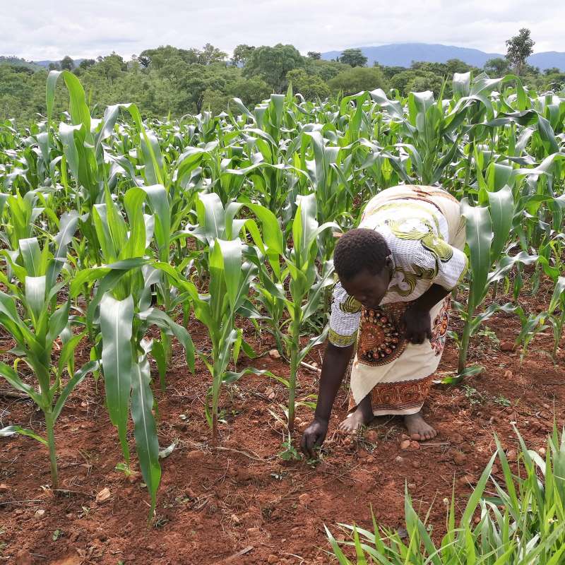
Malawi Digital Plant Health Service (MaDiPHS)
This project will establish a digital agricultural plant health service at the national level in Malawi, based on coordination of internationally developed digital systems.
Divisjon for bioteknologi og plantehelse
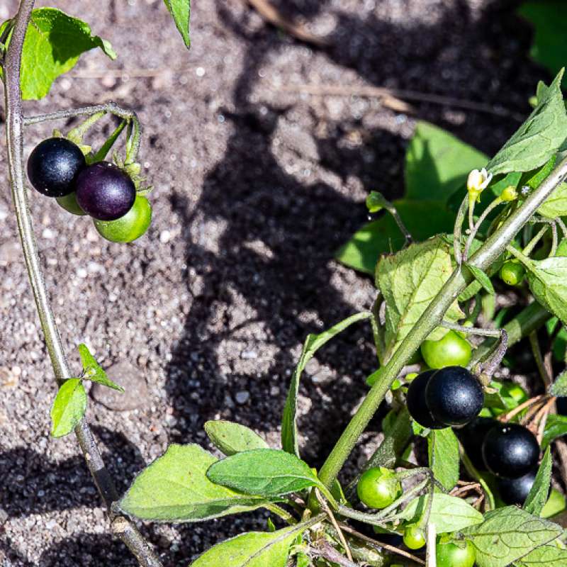
SOLWeeds: Effektiv bekjemping av svartsøtvier og begersøtvier i grønnsaker og potet
Svartsøtvier (Solanum nigrum L.) og begersøtvier (S. physalifolium Rusby) er ugras som forårsaker store problemer for norske produsenter av grønnsaker og potet. Flere dyrkere mener at problemet og lukekostnadene er så store at de frykter de må redusere dyrka areal av f.eks. gulrot, eller stoppe produksjonen helt. I potet er spesielt tidligproduksjonen under dekke utsatt.