Divisjon for kart og statistikk
Integration of Copernicus and national data (InCoNaDa)
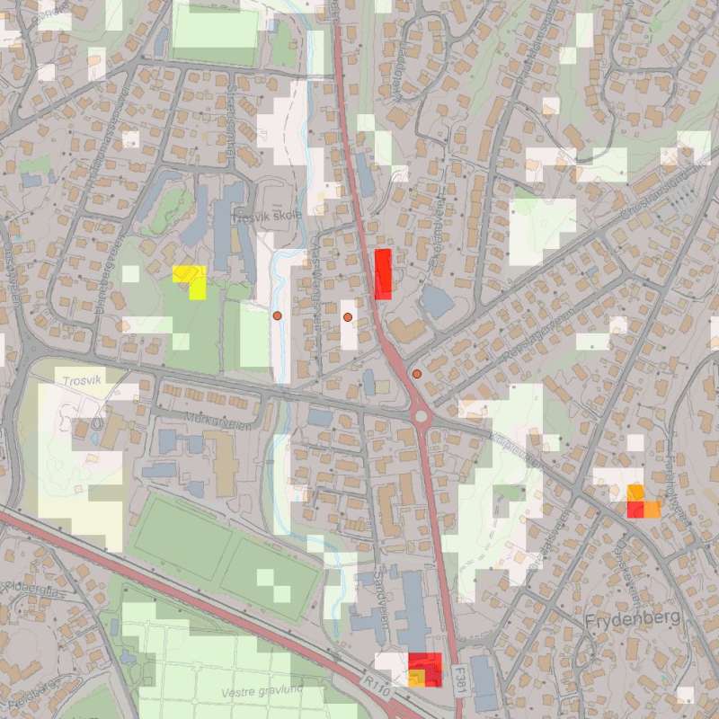
The main goal of InCoNaDa is to improve the user uptake of land cover and land use information available from the integration of Copernicus Land Monitoring Services (CLMS) and national databases.
