PESERA
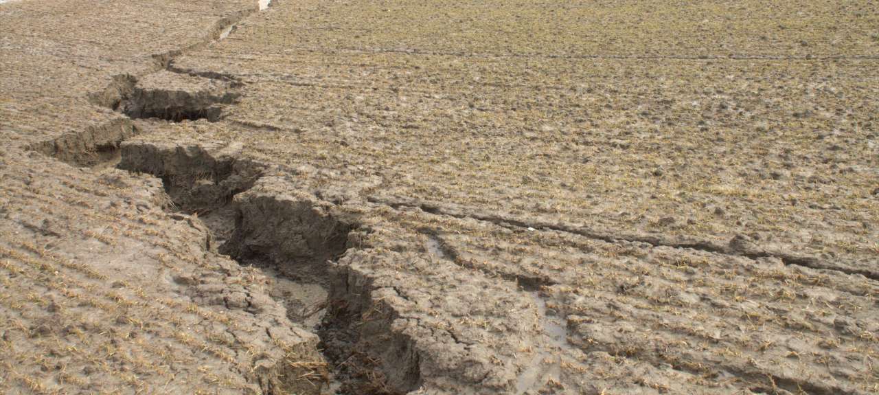
Photo: Inga Greipsland.
Management support model: PESERA
The Pan-European Soil Erosion Risk Assessment - PESERA - uses a process-based and spatially distributed model to quantify soil erosion by water and assess its risk across Europe. PESERA calculates the annual amount of surface runoff and surface erosion. An empirical equation calculates the annual amount of trench runoff and soil loss through the trenches.
Basic specifications of the model:
Name of model | PESERA (Norwegian version) | ||
About the model |
| ||
Purpose of model | Erosion risk assessment | ||
Developer | University of Leeds, UK/ NIBIO, Norway | ||
Scale |
| ||
Spatial | Soil polygon (original version: raster) | ||
Temporal | Average over many years | ||
Process description |
| ||
Model type | Conceptual/ process based | Heat | Yes |
Interception | Yes | Snow dynamics | Yes |
Infiltration & water flow | Yes, bucket model | Frozen soil | Yes |
Surface runoff | Yes | Crop growth | Yes |
Macropore flow | No | Nitrogen transport | No |
Evapotranspiration | Yes | Phosphorus transport | No |
Artificial drainage | No | Particle transport | Yes |
Percolation | Yes | Pesticide transport | No |
Other | - | ||
Contacts
Sigrun Hjalmarsdottir Kværnø
Research Scientist
-
Division of Environment and Natural Resources
(+47) 918 89 028 sigrun.kvaerno@nibio.no Office Location: Ås O43
Robert Barneveld
Research Scientist
-
Division of Environment and Natural Resources
(+47) 968 51 427 robert.barneveld@nibio.no Office Location: Ås O43