Paul McLean
Research Scientist
Authors
Seija Tuulentie Therese Bjärstig Inger Hansen Unni Støbet Lande Paul McLean Jani Pellikka Rainer Peltola Jasmine ZhangAbstract
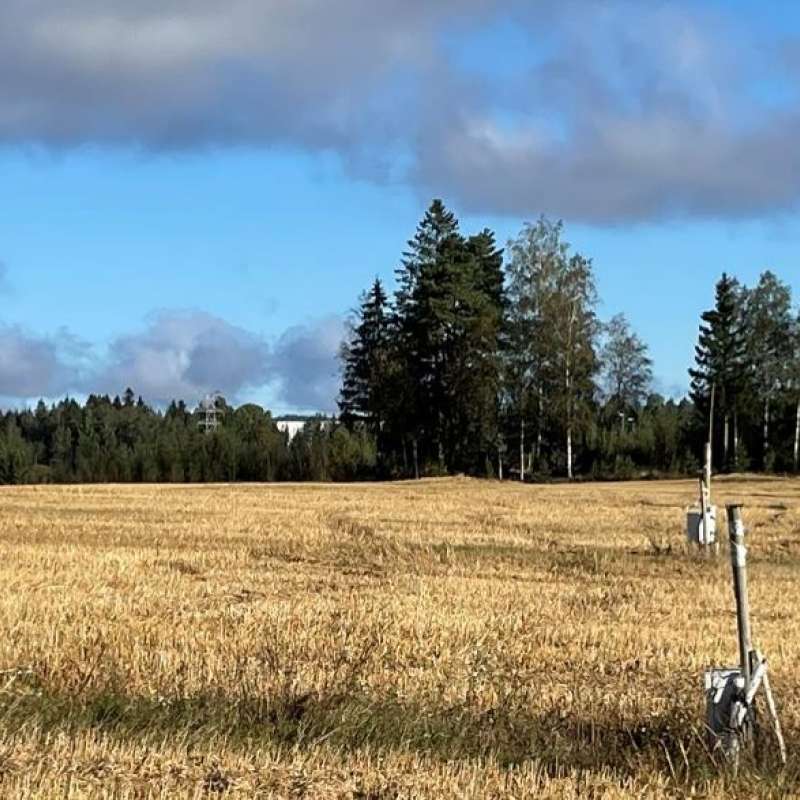
• Sustainable forest management approaches, regardless of whether they involve continuous cover forestry (CCF) or rotation forestry (RF), require a holistic landscape perspective that acknowledges the multiple interests, values, and uses that depend on the locally relevant economic, ecological, and socio-cultural circumstances. These must be considered alongside the use of forests and forest landscapes as a resource for rural development. • Forests provide a wide range of goods and services. Those addressed here (i.e. tourism, recreation, health, grazing, non-timber forest products, and societal protection from natural hazards) are a subset of all of those potential services that are already considered to be of special significance for the Nordic region. • Most recreational users consider variation in the forest landscape and longdistance views as visually attractive but think that clearcuttings and soil tilling are harmful. • In general, CCF favours bilberries, while lingonberries and some mushrooms benefit from even-aged forestry. • Owing to the many and varied demands relating to forests and forest landscapes in Norway, Sweden, and Finland, CCF-supported multiple-use strategies and planning will need to consider stakeholder requirements more, now and in the future, than is currently the case.
Abstract
No abstract has been registered
Abstract
No abstract has been registered
Division of Environment and Natural Resources
Precilience: Precision climate resilience for agriculture and forestry sectors in the European boreal regions
Precilience will develop precision solutions with farmers, foresters, landowners, and other actors to increase climate resilience in the Nordic-Baltic regions of Denmark, Estonia, Finland, Norway and Sweden.
Division of Forest and Forest Resources
A Decision Support System for emerging forest management alternatives
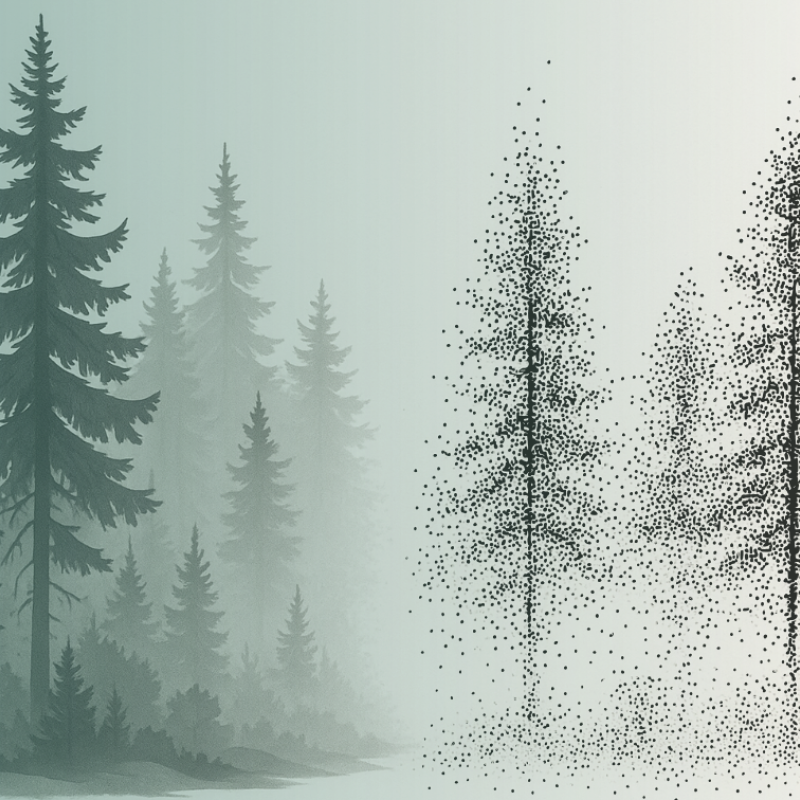
This project aims to develop advanced tree growth models using LiDAR-derived, high-density point cloud data to improve the simulation of forest dynamics under close-to-nature silvicultural practices. By modeling tree-level growth in structurally complex and heterogeneous stands, these models will support more accurate, spatially explicit forest simulations and inform sustainable and diversified forest management decisions.