Norwegian-Romanian collaboration on peatland restoration
Published 13.03.2024
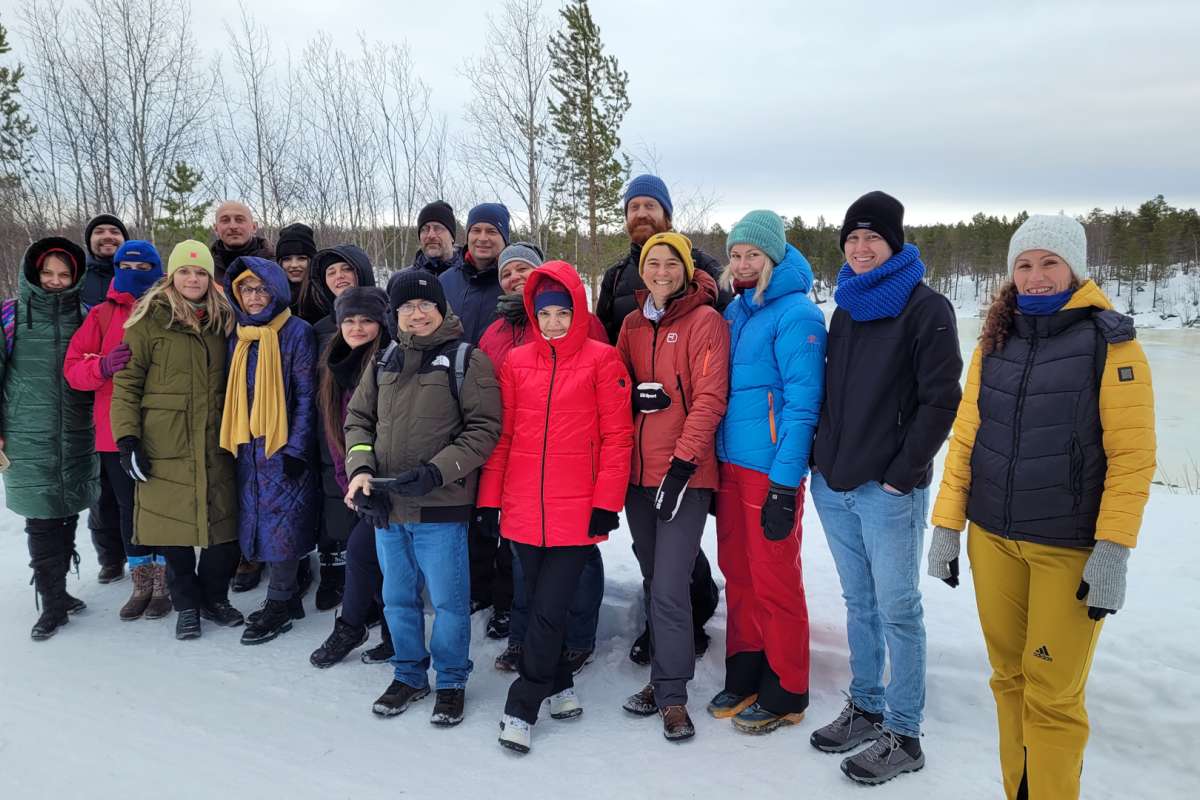
Norwegian and Romanian researchers are collaborating on the restoration of peatlands and wetlands in Romania. In late February, participants met for a project meeting at NIBIO in Ås before visiting Svanhovd in the Pasvik Valley together.