Remote sensing and spectroscopy
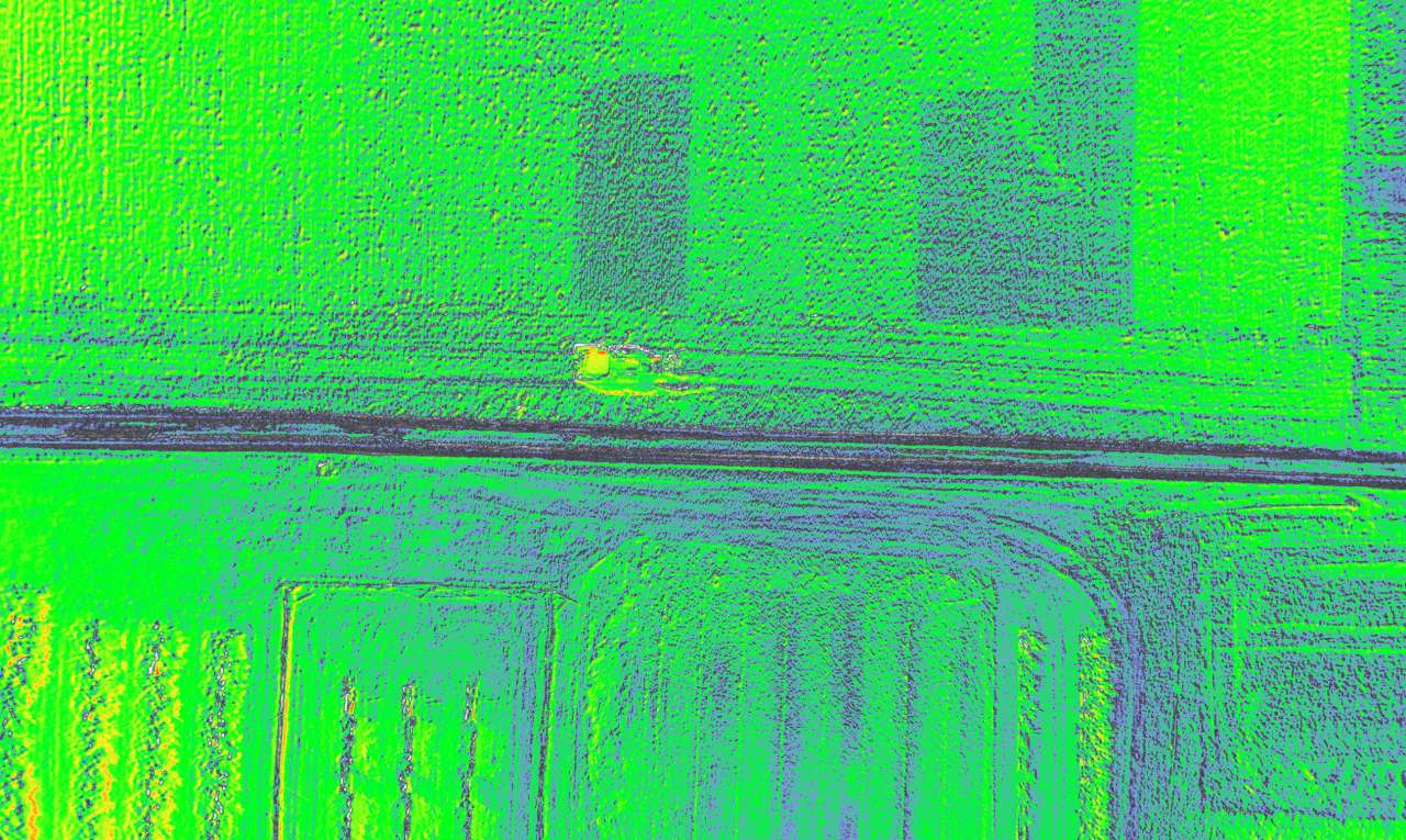
Photo: Kristian Rindal/NIBIO
Remote sensing is central to precision agriculture and involves using sensors to collect data from soil and plants without being in direct contact with them. In precision agriculture, this mainly refers to the use of sensors mounted on drones or satellites to enable fast and efficient data collection, but sensors can also be mounted on tractors, tools, or other machinery and equipment.
Measurements conducted with multispectral sensors mounted on drones and satellites, combined with knowledge of plants and plant growth, can provide vast amounts of information about plant health. This data allows us to further develop recommendation models for site-specific agronomic measures that optimize the use of inputs and maximize yields from a given field.
Spectral imaging data refers to images containing information from different wavelengths of electromagnetic radiation, including both the visible spectrum and wavelengths beyond human vision. Our work primarily focuses on measuring light in the visible, red edge, and near-infrared regions, though other parts of the spectrum can also be utilized.
To ensure reliable models and recommendations, high-quality ground truth data is critical, including field trials, plant samples, and in-depth analyses.
Contacts
Jakob Geipel
Research Scientist
-
Division of Food Production and Society
(+47) 915 66 289 jakob.geipel@nibio.no Office Location: Apelsvoll
Krzysztof Kusnierek
Head of Department/Head of Research
-
Division of Food Production and Society
(+47) 920 12 953 krzysztof.kusnierek@nibio.no Office Location: Apelsvoll
Jiangsan Zhao
Research Scientist
-
Division of Food Production and Society
(+47) 413 23 321 jiangsan.zhao@nibio.no Office Location: Apelsvoll