Jakob Geipel
Research Scientist
Biography
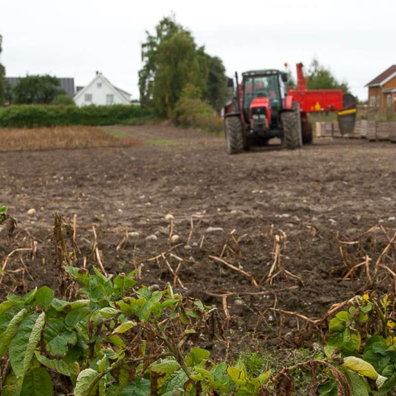
Jakob is a researcher and expert for sensors and the use of satellites, drones, tractors and robots for data acquisition in agriculture. He works amongst others with multi- and hyperspectral remote sensing, image processing and modelling of plant properties with focus on yield- and quality estimations for precision agriculture applications. His field of research comprises forage, grain and potato production.
CV
Education:
2012-2016: Dr. sc. agr. (Ph.D.) in Agricultural Sciences at the Institute of Crop Science, Department of Agronomy, University of Hohenheim, Germany
2009-2012: M.Sc. in Geoinformatics at the Institute for Geoinformatics, University of Münster, Germany
2005-2009: Dipl.-Ing. (FH) in Surveying Engineering and Geoinformatics at the University of Applied Sciences Würzburg-Schweinfurt, Germany
Abstract
No abstract has been registered
Authors
Jakob Geipel Therese With Berge Krzysztof Kusnierek Kristian Sæther Malin Larsen Græsdahl Ingeborg Hogne Kristian Rindal Thor Johannes RognebyAbstract
No abstract has been registered
Authors
Lars T. Havstad Jakob Geipel Kristian Rindal Geir Kjølberg Knudsen Hans Wilhelm Wedel-Jarlsberg Silja Valand John Ingar Øverland Victoria Stornes MoenAbstract
No abstract has been registered
Division of Biotechnology and Plant Health
SOLUTIONS: New solutions for potato canopy desiccation, control of weeds and runners in field strawberries & weed control in apple orchards
Efficient measures for weed control and similar challenges are vital to avoid crop loss in agriculture. National supply of food, feed and other agricultural products depends on each farmer’s success managing their fields and orchards. The recent loss of the herbicide diquat, and the potential ban on glyphosate, - both important tools for farmers -, raise a demand for new measures for vegetation control. Efficient alternatives to herbicides are also important tools in Integrated Pest Management (IPM). Norwegian growers need to document compliance to IPM since 2015 to ensure minimum hazards to health and environment from pesticide use.
Division of Food Production and Society
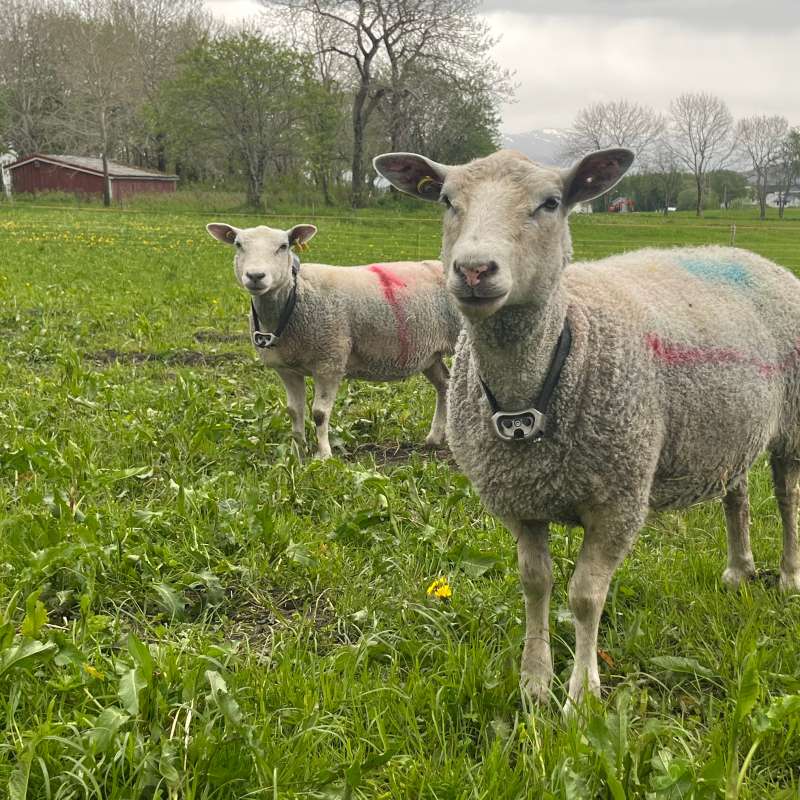
Techgraze – Integrating Advanced Technologies for Enhanced Grazing Practices in Norway
In Norway, a declining grazing pressure and farm abandonment have led to undesirable ecological and socio-economic outcomes. The TechGraze project aims to address these challenges by integrating Virtual Fencing (VF) and Remote Sensing (RS) technologies to enhance pasture-based livestock management.