Data collection, management, analysis and processing make up the department’s core competence. Dissemination of knowledge is an important part of all the department’s areas of expertise. The department is responsible for NIBIO’s archive of aerial and satellite images.
Remote sensing of land resources
Main areas of expertise:
- Remote sensing from satellite and aerial images
- Programming and analysis of geographic information (GIS)
- Documentation of cultural heritage
Duties include:
- Production of land resource maps, and full-coverage forest maps at municipal level.
- Collection and processing to determine the status and changes in the agricultural landscape: condition monitoring and performance control in the agricultural landscape (3Q).
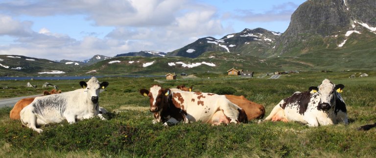
Rangeland surveys
Main areas of expertise:
- Ecology and vegetation in outlying areas.
- Livestock’s use of rangeland, and knowledge about rangeland-related industries.
Duties include:
- Full-coverage vegetation surveys locally, sample surveys nationally and regionally.
- Running and maintenance of the information system for grazing in rangeland environments (IBU).
- Advice on the use of grazing areas, landscape management and biodiversity.
- Cooperation with other research institutions.
The Norwegian Genetic Resource Centre
The Norwegian Genetic Resource Centre is organized as a part of Land Resource Surveys.