CARISMA - Background

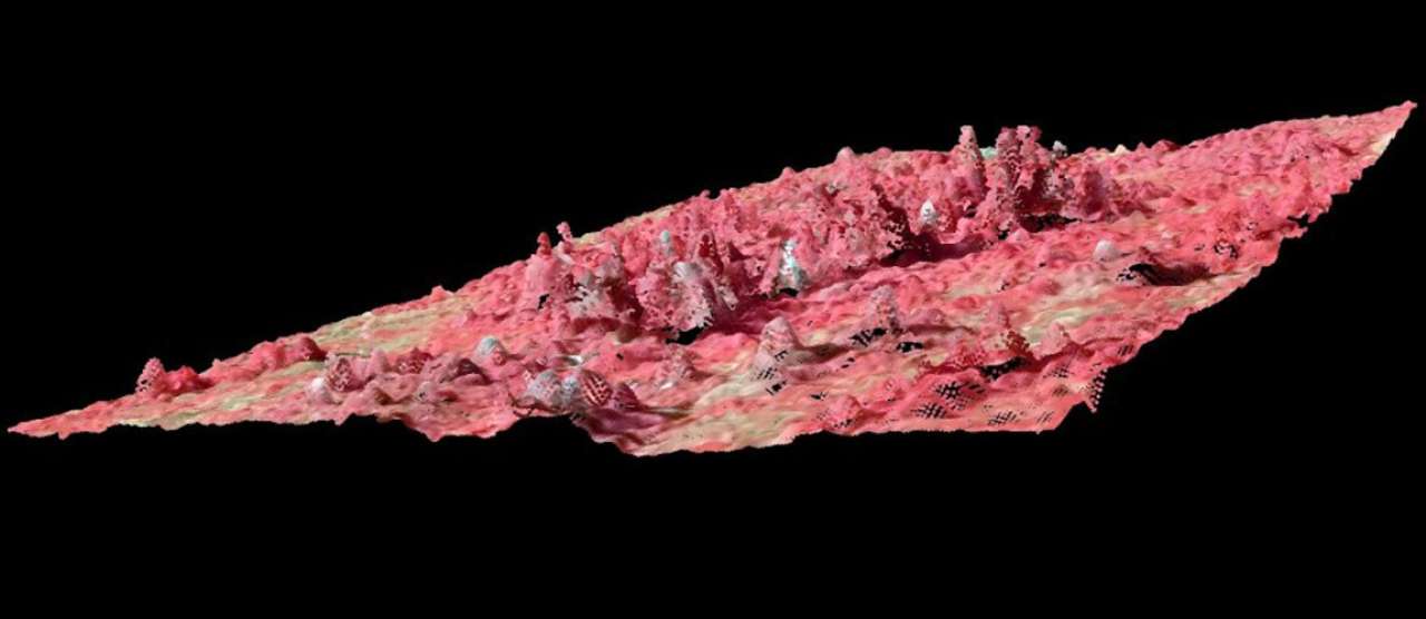
Three-dimensional (3D) remote sensing data are highly correlated with key forest parameters such as timber volume, biomass, and diameter distributions. Traditional 2D optical remote sensing techniques have mainly reached the limits of their developmental potential, whereas 3D techniques are currently making rapid technical advances.
Scientific motive: Advanced research on methods for the integration of 3D remote sensing data in NFIs have a joint focus across the Nordic countries. This CAR will enhance this research, and expand to further development of methods in cooperation with other research groups and inventory systems across land use, including landscape and urban areas.
Formal motive: Avoid double work and parallel research in the Nordic countries, to optimize the invested R&D efforts in the respective countries. The benefit will be increased knowledge of the options and results, and strengthen the link to ground truth data such as the NFI. Another benefit will be increased availability and use of data for small areas and giving support for more detailed management and planning in both forest area and elsewhere.
Need of knowledge: The need of knowledge on areas smaller than what regular statistics, as e.g. NFIs are designed for (counties, municipalities), is high and spans from forest owners associations, forest inventory companies, administrative bodies, forest companies, and urban or landscape planners. Examples include i) municipalities that request local information on carbon stocks and changes for local action plans; ii) forest companies requesting information on cutting possibilities in small areas; iii) planning of afforestation or intensive biomass extraction and the influence on social aspects as recreation and economics, especially in areas of higher population density.
Using auxiliary information from 3D remote sensing, for example by post-stratification or model-assisted estimation, can also improve estimates of carbon change on regional and national level as is reported under the UNFCCC.
The following objectives can be identified:
- Optimize selection of remote sensing type, parameter settings, and processing
- Improve models to link remote sensing to forest variables of interest including ecologically and social relevant indicators or structures
- Develop estimators with high precision making best use of models and data on large (region) to local (stand level) scales
- Further develop the knowledge on estimates of change and the use of time series of remote sensing data
- Disseminate the knowledge in the forestry sector and administration
Overall goals:
- Provide valuable information on forest structure and change to improve the efficiency of the forest-based value chain as part of the bioeconomy
- Provide valuable information on carbon sequestration, carbon stock, and health of the forests and related biodiversity under climate change
- Provide valuable information on forest structures and landscape elements as a foundation for workplaces, recreation and cultural activities, setting the frame for numerous social activities
Specific aims:
- Keep and increase the research advantage in the Nordic NFI teams by streamlining research activities
- Initiate research proposals to increase the funding base of common activities
- Keep and increase the high know-how level of Nordic inventory and remote sensing companies that often operate on international scale to assure their competitiveness and to assure their ability to provide the needed information


