Soil surveys for a greener economy

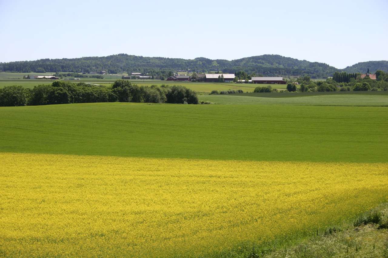
Photo: Ragnhild Sperstad, NIBIO.
The “oil fairytale” would not have been possible without a geological survey of the Norwegian continental shelf. If the bioeconomy is to succeed, we need an equivalent survey of areas that produce renewable resources.
“Now, for the first time, we are able to say something about the soil properties of all Norwegian agricultural lands. From Agder to Finnmark, the soil quality has been documented and localised,” says Siri Svendgård-Stokke, leader of the soil survey project.
Data is collected through a sample survey, which produces a representative estimate of the soil around the country.
This new information sheds light on key prerequisites for the growth of agricultural production in the future bioeconomy.
If agricultural production is to increase significantly, larger amounts of land will be needed. Knowledge of where the soil is most vulnerable allows for informed choices regarding the land.
“This is exactly the kind of information we have presented,” says Svendgård-Stokke: We have confirmed the assumption that most land degradation occurs in areas where soil quality is the highest. The counties of Eastern Norway top the land degradation table, together with Rogaland and Trøndelag. The same counties are also where the majority of Norway’s grain production takes place. According to the soil survey, the proportion of high soil quality is the greatest here.
The government’s work on tightening soil conservation policy is vital in order to maintain the best agricultural areas so that they can contribute to the growth of the bioeconomy.
Increased production demands that land is used in a way that yields high quality crops without harming the environment. Draining is perhaps the most important single measure a farmer can take to achieve this goal.
“Our research shows that 53 percent of Norway’s cultivated land is dependent on draining measures. Now we know how much more land needs draining, and where in the country this need is the greatest,” says Svendgård-Stokke.
Norway’s soil statistics reveal the possibilities and limitations of the soil. They provide a framework for making informed decisions according to regional conditions, and facilitate the development of agricultural policies that can be adapted to different parts of the country.
Contacts

Contacts

