Jannes Stolte
Senior Research Scientist
Biography
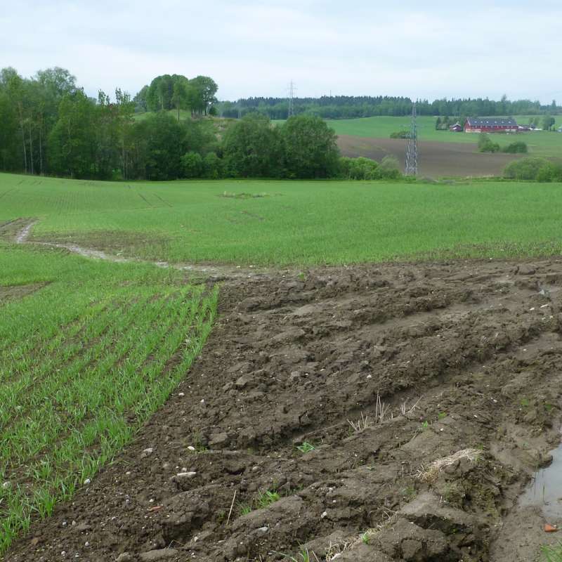
My long-term experience is on catchment hydrology, with emphasize on soil physical processes. I have performed studies on soil erosion in the Netherlands, China and Norway, and have co-developed and extensively tested a physical-based hydrological and soil erosion model. Event-based processes like flooding, gully erosion, and sediment and nutrient losses are the core of my work. I have analysed and defined; (i) measurement techniques for model parameters; (ii) field monitoring for quantification; (iii) model sensitivity analysis; (iv) defining measures for reducing erosion, flood risk and soil deterioration; (v) participatory approaches for selecting feasible measures; and (vi) quantification of selected land use strategies.
My scientific goal is to maintain good quality soil and reduce flood and erosion risk, with focus on soil functions and ecosystem services. There is a persuasive need for developing a thorough risk-based framework for assessing soil health. I believe that by implementing a land use strategy that uses the landscape for capturing and retaining water, overland flow will decrease, resulting in a decrease in flood and erosion risk. If, at the same time, agricultural practices focus on increase of organic matter and infiltration capacity, soil quality will increase as well as the ability of soil to perform its functions. Good-quality soils are necessary for the food, fibre and fuel of a growing population, making soils a shared resource that requires governance.
Abstract
Studien undersøkte hvordan ulike dreneringssystemer (torpedo-, slisse- og tradisjonelle grøfter) påvirker hydrologi, nitrogentap, lystgassutslipp og avling av korn på marin leire. Bakgrunnen er økende nedbørintensitet som gjør god drenering nødvendig for å sikre avlinger. Forsøket ble gjennomført fra 2023 til 2025 på Grimsrud gård, Østfold der vannstrømning, jordfuktighet, nitrat i drensvann og klimagassutslipp ble målt. Tekniske problemer førte imidlertid til databrudd i flere sesonger. Hydrologiske data viste store variasjoner mellom både systemer og år. Torpedogrøftene hadde ofte noe høyere avrenning og langsommere tørkehastighet, trolig på grunn av høyere jordfuktighet og mulig jordpakking. Nitratmålinger viste ingen entydige forskjeller mellom systemene, og stor romlig variasjon mellom grøfter gjorde det vanskelig å beregne representative N‑tap. Sensorene viste karakteristiske nitratpulser under nedbør, men episodisk avrenning skapte usikkerhet. Lystgassmålingene viste gjennomgående høyere N₂O‑utslipp i torpedosystemet, særlig under våte forhold tidlig i sesongen. Dette indikerer økt denitrifikasjon i perioder med begrenset dreneringsytelse. Avlingsregistreringer viste ingen systematiske forskjeller mellom dreneringsmetodene. Samlet viser resultatene at forskjeller mellom systemene er vanskelige å dokumentere sikkert på grunn av stor naturlig variasjon og tekniske utfordringer. Videre overvåkning med forbedret måleoppsett anbefales for å kunne vurdere langtidseffekter på hydrologi og nitrogentap.
Abstract
Abstract Background and Aims Efficient phosphorus (P) and management is essential for sustainable arable systems. Cover crops (CCs) are promising, but their performance is uncertain in high-latitudes. This three-year study evaluated CCs’ effects on P dynamics in a P-rich soil undersown in barley in Mid-Norway (63.9°N)—one of the northernmost trials of its kind. Methods A randomized complete block design included three CC treatments: ryegrass (CC1), a ryegrass–clover mix (CC2), and a four species mix including grass, legumes and herbs (CC3), and controls without CC (with/without NPK fertilizer). Soil and plant analyses included total and available P, total N, potentially mineralizable N (PMN), pH, permanganate-oxidizable carbon, root biomass, plant P concentrations, and microbial abundance via qPCR. Statistical analysis was based on Linear Mixed Models (LMMs). Results Cover crops successfully established (average biomass: 1525 kg ha⁻ 1 ), accumulated ~ 7 kg P ha⁻ 1 , and did not reduce barley yields. LMMs showed significant effects of CC treatment on root biomass, total P, and bacteria. Pairwise comparisons also revealed that fungal abundances in CC1 and CC3 were significantly higher than in the unfertilized control. Pairwise regression revealed that soil total P was strongly predicted by root biomass (β = 1.37, P < 0.001). Available P was negatively controlled by microbial pools (Bacteria: β = -9.22, P < 0.001) and residue quality (C:P ratio: β = -0.36, P < 0.001). Conclusions CCs can be used at 63°N without yield penalty. The primary P mechanism is mass-driven sequestration (root biomass) into the stable total P pool. However, P availability is temporally constrained by residue quality and microbial competition. Graphical Abstract
Abstract
This policy brief outlines the urgency and opportunity for advancing soil health and agroecology in the Nordic region. It highlights the essential ecosystem services provided by healthy soils, the risks of continued degradation, and regionally adapted actions to support sustainable food systems. Key recommendations include developing Nordic-specific monitoring frameworks, incentivizing agroecological and adjacent practices, and fostering regional collaboration and innovation.
Division of Environment and Natural Resources
CURIOSOIL
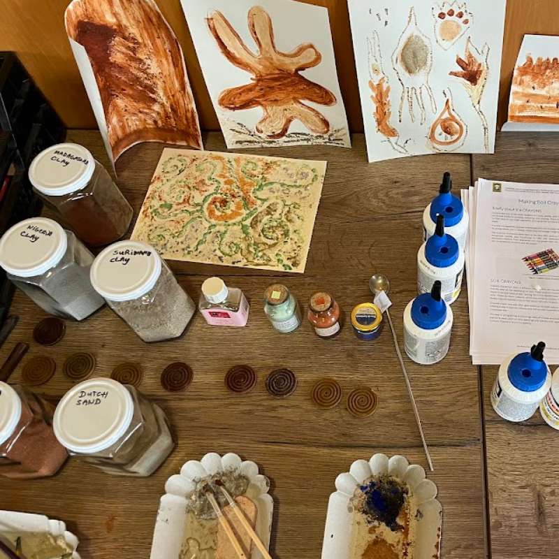
Through CURIOSOIL, soil education will be strengthened, both in classrooms and at other learning arenas, for all age groups. The aim is to enhance soil literacy in Europe.
Division of Environment and Natural Resources
EUROSION
European Soil Erosion Monitoring and Modelling Network for Sustainable Agricultural Land Management