Soil Mapping
The purpose of soil mapping is to document and geographically identify the stable properties of the soil. Thematic maps produced through soil mapping provide a basis for informed decisions regarding the use of soil resources, within agronomy, climate adaptation, land-use planning, and risk assessments related to environmental impacts in agriculture.
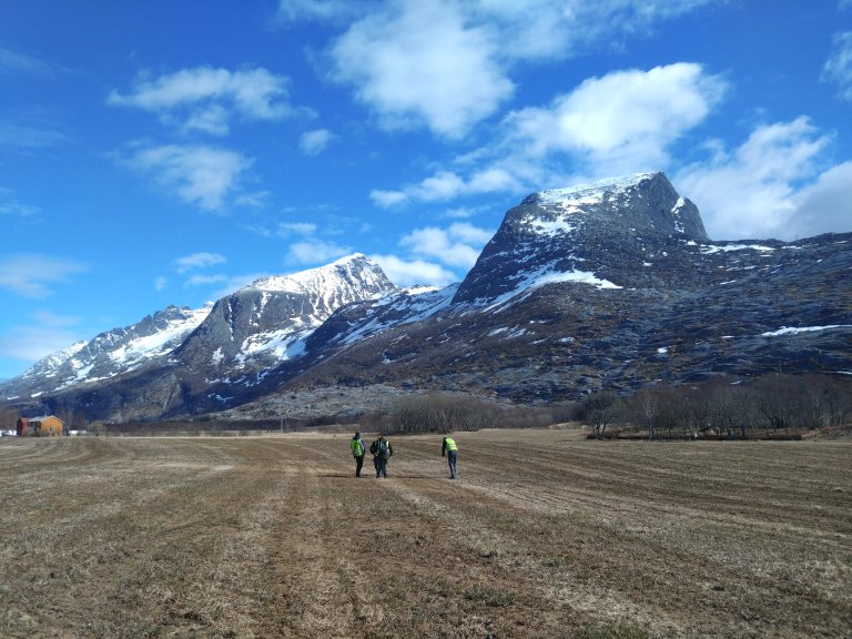
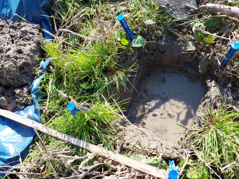
Data Collection
Data collection is field-based and conducted on arable and cultivated land using a standardized method. Approximately 100 km² are mapped annually. In the field, soils are named based on a Norwegian adaptation of an international classification system, and different soil types are delineated. The soil is examined according to specific criteria from the surface down to 1 meter depth. The following assessments are made in the field: the content of sand, silt, clay, organic material, gravel, and stones in the different layers; the soil’s ability to drain excess water; depth to bedrock; soil development; and whether there are signs of human activity beyond drainage measures or ploughing. All assessments are made in situ, without sending soil samples to a laboratory for analysis.
Soil mapping is a one-time mapping effort, and currently 61% of the country’s arable and cultivated land has been mapped.
Data Management
Data management includes all activities involved in managing data as a valuable resource. This includes both technical and administrative tasks. To ensure long-term value and usability across different applications, data must be easily accessible, consolidated, and well documented. Results from the soil mapping are imported into a well-organized and thoroughly documented database. The database is updated once a year with results from the previous year’s fieldwork.
Processing and Analysis
Results from the soil mapping constitute basic data. All services developed based on soil mapping use these basic data as their foundation. The data are used as input in various models to produce maps for a wide range of purposes. The complexity of these models varies. Some use only the basic soil data, while others incorporate additional datasets such as meteorological data, the national elevation model, and crop growth functions. Soil mapping results are also used in research and assessment projects and form the basis for soil resource statistics at both municipal and county levels.
Dissemination
The most important dissemination of soil mapping results occurs through the publication of maps on NIBIO’s map portal Kilden (kilden.nibio.no). The primary users of these maps include farmers, advisors, and public administration across sectors and levels, as well as policymakers. These user groups are supported with information on how to use the results, and informational material is regularly published on the website.