Sr16 now covers of Norway

Photo: Erling Fløistad
Information about forests is important both for the forestry industry and management. The recently updated forest resource map SR16 will be a huge benefit to industry and management.
SR16 is a comprehensive digital forest resource map that provides an overview of the extent of the forest and properties of Norway’s land resources, including species of trees, average elevation and timber volume. The map service is available from NIBIO’s Kilden map solution, under the Forest Portal.
In working to survey the forestry land in Norway, researchers at NIBIO have used a combination of forest recordings on the ground (Norway’s National Forest Inventory), remote sensor data from satellite images (Sentinel-2), laser scans from aircraft and image matching from the Norwegian Mapping Authority.
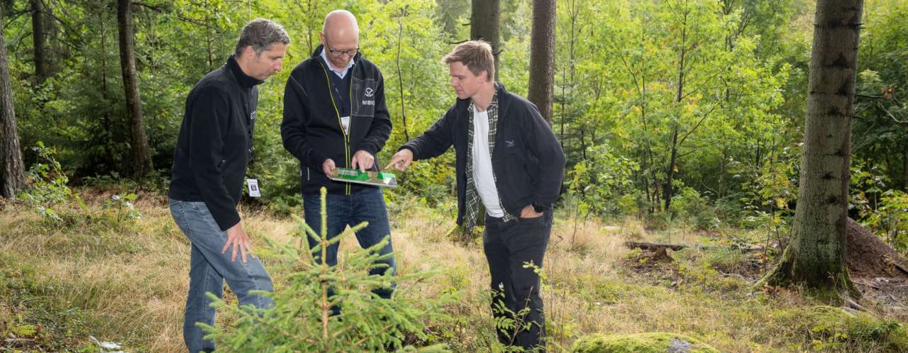
One of them, who has also taken part in the development of the new forest resource maps, is Johannes Breidenbach, Senior Researcher at NIBIO. He explains that up to now around 80 per cent of forest land has been included in the map solution. The new version of SR16 achieves 100 per cent coverage.
“This means that the maps not only can reveal information about the whole country, but also about very local conditions,” explains Breidenbach.
According to NIBIO colleague Bjørn Tobias Borchsenius, the forest resource maps make it easier for forest owners to know where logging has taken place and to plan future logging. Many request information about the forest to obtain an overview of the stock in the forest, and to plan logging, crop thinning and to make other operational decisions.
“And if a municipality for example wants to develop its own climate policy, it can use SR16 to decide how to formulate local decisions. The county and county governor also need this information,” says Borchsenius.
Forest information is also important in relation to landslips such as avalanches or landslides, and data from SR16 can be used to prepare landslip and due diligence maps.
Contacts

Purpose
SR16 is a comprehensive digital forest resource map that provides an overview of the extent of the forest and properties of Norway’s land resources, including species of trees, average elevation and timber volume.
